At some point in Autumn 1911, an enormous chunk of ice cleaved away from a glacier on the southwest of Greenland’s vast ice sheet. Over the following months, it slowly drifted south, melting gradually as it was carried by the ocean currents and the wind.
Then, on the cold, moonless night on 14 April 1912, a 125m-long (410ft) iceberg – all that remained of the estimated 500m (1,640ft) chunk of ice that left a fjord in Greenland the previous year – collided with the passenger ship RMS Titanic as it made its maiden voyage from Southampton in the UK to New York, USA. In under three hours the ship had sunk, taking more than 1,500 passengers and crew to their deaths. The wreck now lies nearly 3.8km (12,500ft) beneath the waves at a site nearly 400 miles (640km) southeast of the Newfoundland coast.
Icebergs still pose a hazard to shipping – in 2019 1,515 icebergs drifted far enough south to enter transatlantic shipping lanes during the months of March to August. But the Titanic’s final resting place carries dangers of its own, meaning visits to the world’s most famous shipwreck present a significant challenge.
With the disappearance of a five-person submersible while carrying paying passengers on a trip to the Titanic wreck, the BBC looks at what this region of the ocean floor is like.
Navigating in the deep
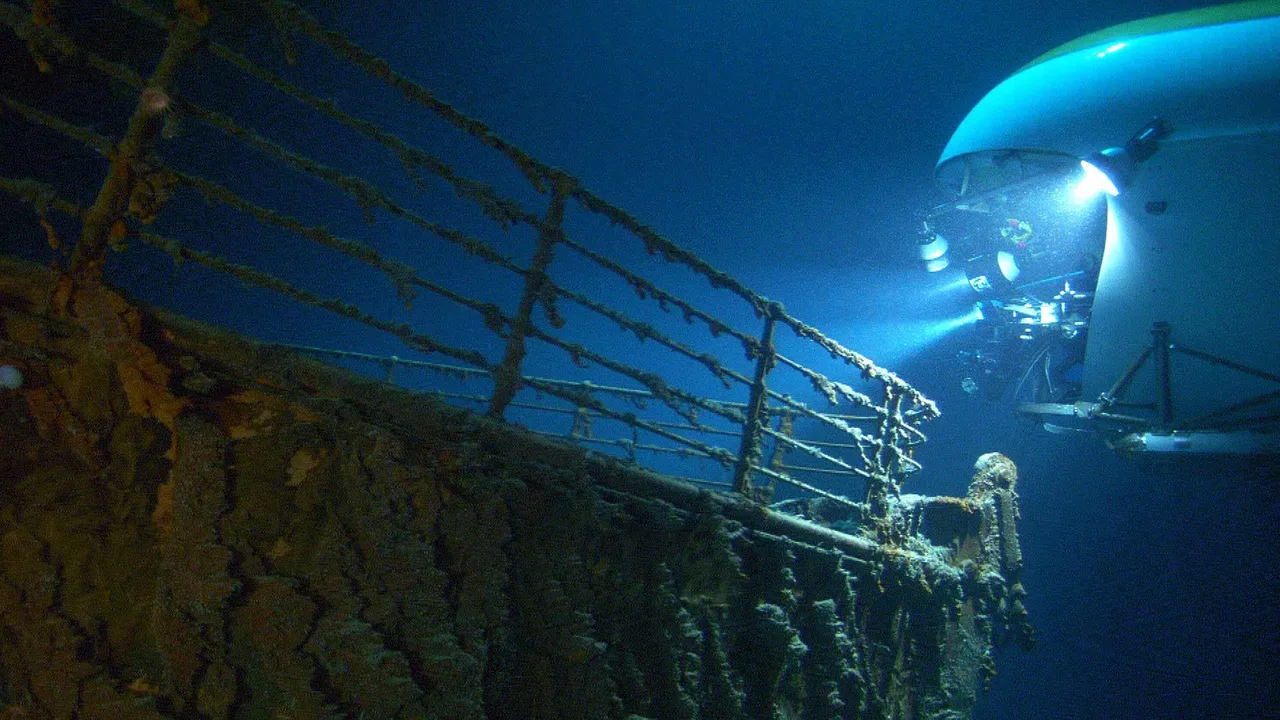
The deep ocean is dark. Sunlight is very quickly absorbed by water and is unable to penetrate much deeper than about 1,000m (3,300ft) from the surface. Beyond this point, the ocean is in perpetual darkness. The Titanic lies within a region known as the “midnight zone” for this very reason.
Previous expeditions to the wreck site have described descending for more than two hours through total darkness before the ocean floor suddenly appears beneath the lights of the submersible.
With limited line of sight beyond the few metres illuminated by the truck-sized submersible’s onboard lights, navigating at this depth is a challenging task, making it easy to become disoriented on the seabed.
